Supporting
operational
decision-making
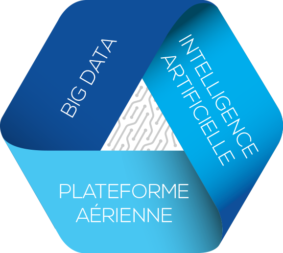
I-SEE airborne observatory offers an aerial observation platform (aircraft & drone) to collect and process scientific data. The objective is to improve our analysis and understanding of phenomena through pioneering AI solutions. The company is also a data provider mainly specialized in the sustainable development and military sectors.

The company
Today, I-SEE airborne observatory fully meets the needs of the market. We design, produce and market a dual (civil and military) solution of light airborne vectors (aircraft & UAS). This turnkey solution, innovative and efficient, is marketed at a competitive cost.
Read moreThe stakes
Lightweight aerial observation platforms, backed by artificial intelligence solutions, will undoubtedly play a major role in carrying out a variety of missions in the years to come.
Our platforms (piloted or autonomous – UAS) are scalable and multi-mission, equipped with the latest technological systems (sensors) have demonstrated their ability to carry out aerial photography, surveillance of engineering structures or linear infrastructure, border surveillance, acquisition of knowledge relating to marine fauna or even farms to optimize their management.
I-SEE airborne observatory develops technology platforms, backed by AI solutions to assist organizations and businesses in finding answers to complex questions.
Discover our airbornes vehiclesThe applications
of the I-SEE platform
;
I-SEE designs and manufactures aerial platforms whose characteristics allow the collection of a significant amount of scientific data in order to improve the understanding and analysis of the “Big Data Intelligence” impacts for the following application areas.
Our Partners


